
Trail number 2 on my training syllabus was the Upper Table Rock, just a few miles from my apartment (I live at the bottom of Table Rock Rd.). I climbed with my friend, Katie Conner, who works at channel 10, Sunday morning.
The trail is only 1.25 miles each way, but gains 720 feet in that span. It was a good trail, not too hard but still gets the heart working and sweat flowing. It's not as exhausting as the Roxy Ann hike was, but I feel it in a different part of my legs. I may try doing both trails back-to-back in the future.


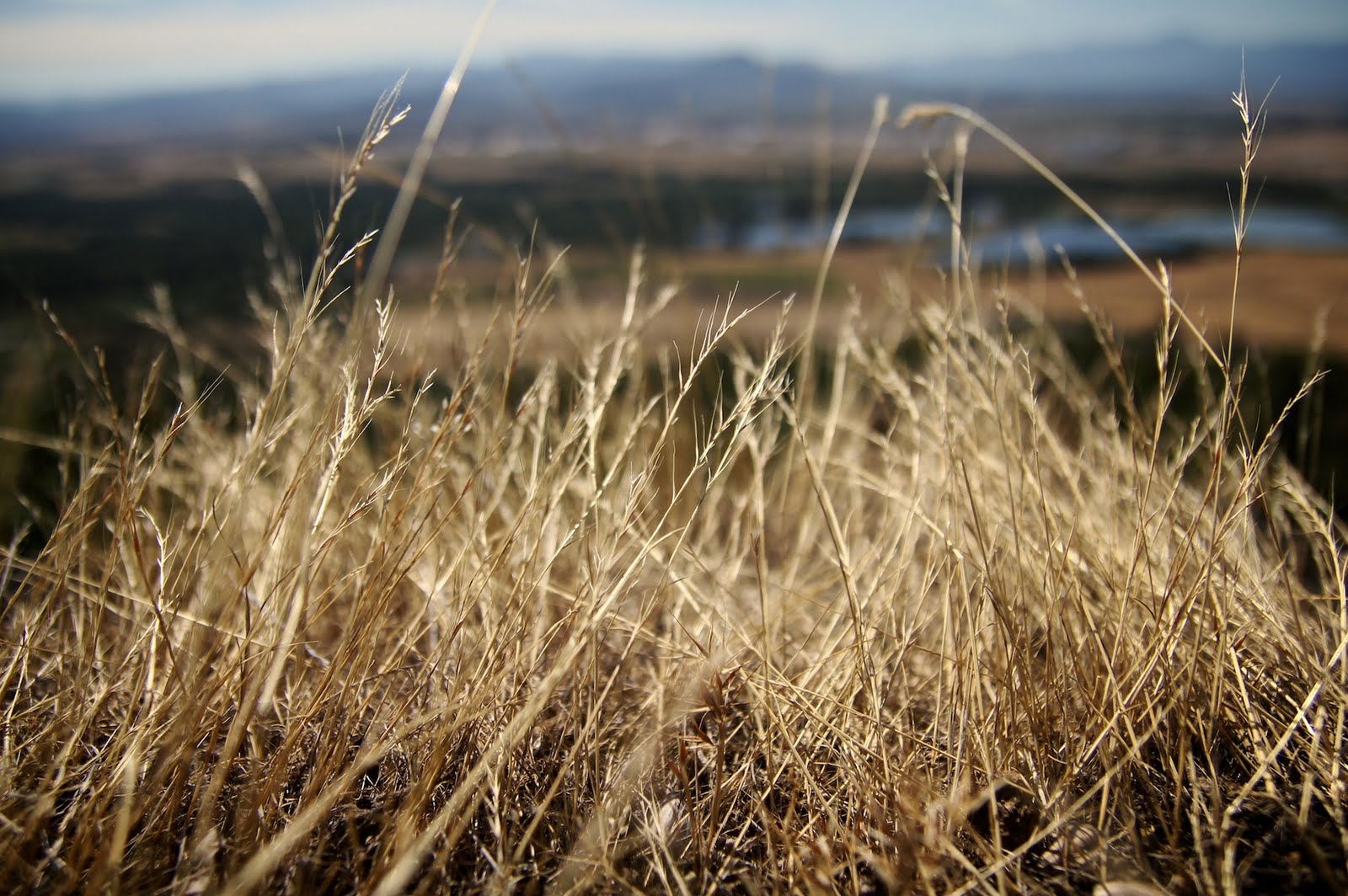
The top of Table Rock is a flat surface where you can look out over much of the Rogue Valley.

Skyline: Roxy Ann is the curved peak on left. Pilot rock is the dome in the far distance in center. Mt. Ashland still has some snow on right.

Mt. Doom -- I mean McLoughlin -- in the distance.
No comments:
Post a Comment